
![]()
![]()
![]()
|
|
The trial walk
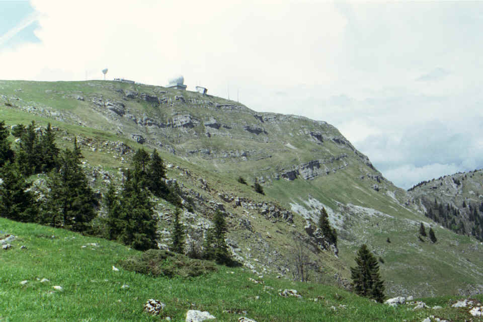
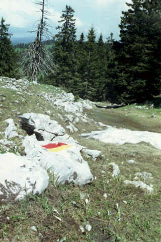
For those coming from Geneva it is only 30 min drive. For Lausanne dwellers, like me, it is a bit longer, but still no problem. In any case you need to take the highway Geneva - Lausanne and leave it at Nion exit, but to the opposite direction - towards Saint-Sergue. At a second round about take direction to Gingins. The driving map up to Gingins is here. In Gingins, aim up the hill. Here is the map from Gingins to La Dole. The road climbs high, almost to the top. After you park at the end of the road - chalet La Dôle, you see about the same what's on the left picture. These white spheres are meteorological station and/or radio station on the top. In a good weather it is well visible from the highway Geneva - Lausanne.
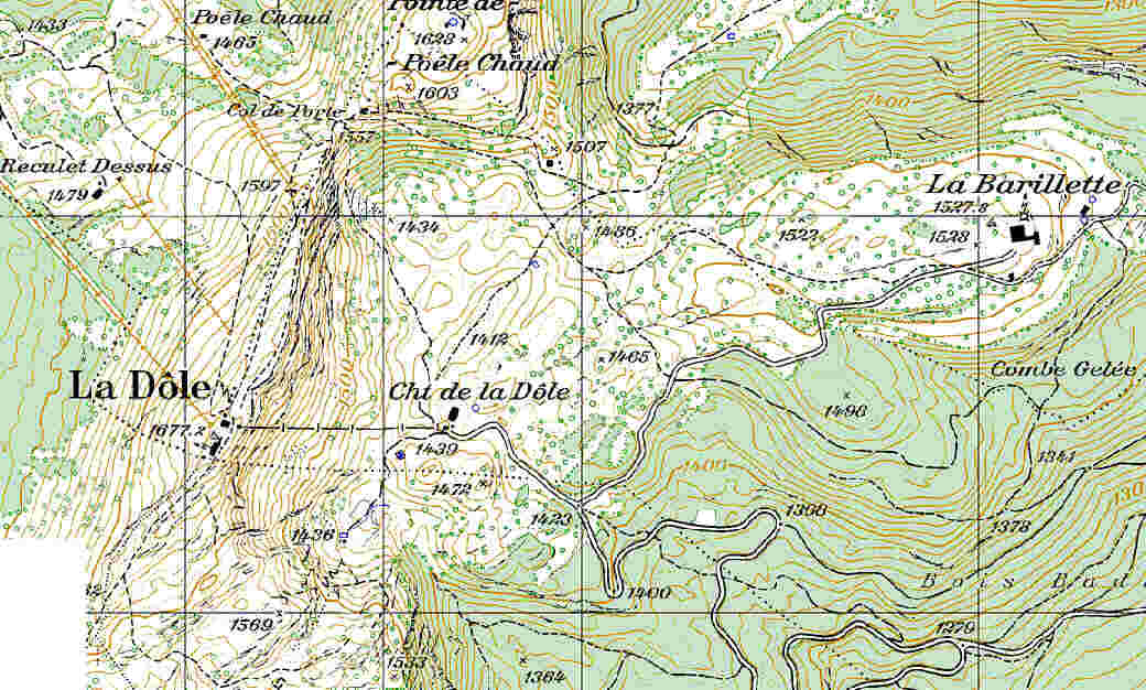
I chose the left route, along the southern side. The path first starts to go up smoothly, then steeper and steeper. At its extreme, I think it is above 50% (percent, not degrees!), but don't worry - steep pieces are short. Then, as you reach point 1569 (see the map), the walk becomes again easy and remains it until very top. All in all it makes this walk very good for trial. If you like it, you will continue with more and more lengthy and interesting routes. If you don't like it - it is not a disaster: go down and have a dinner at the La Barillette restaurant, located on a neighboring peak of the same name. And don't worry - that one you can drive up to the door, no need for climbing :) La Dole is located very close to French border. On the way to the top, before the last leg, you will be in only several meters from it. There is barber wire or border posts. All it is - a low stone-made barrier. Even this is at most to separate French cows from Swiss cows, not more.
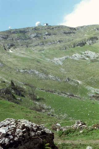
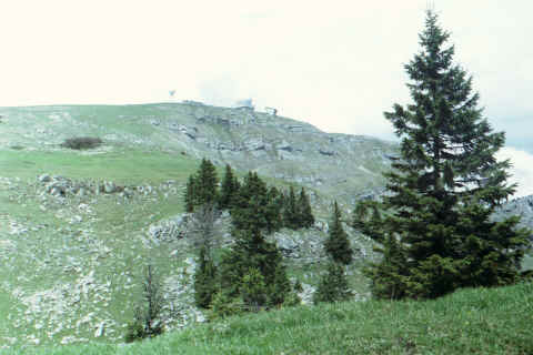
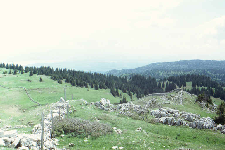
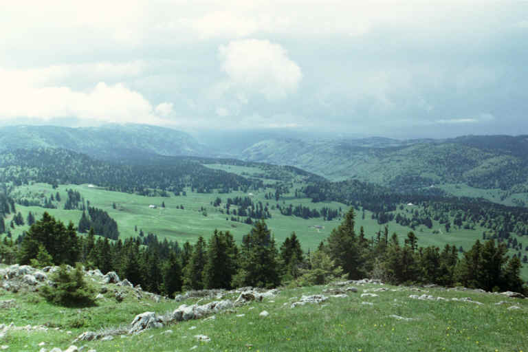
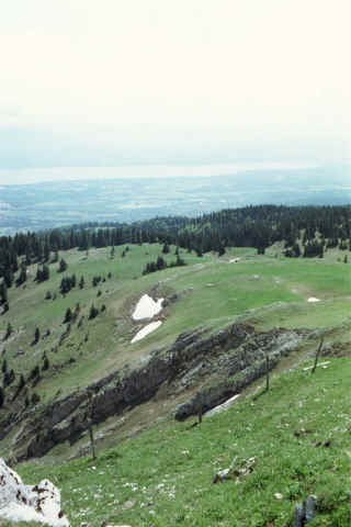
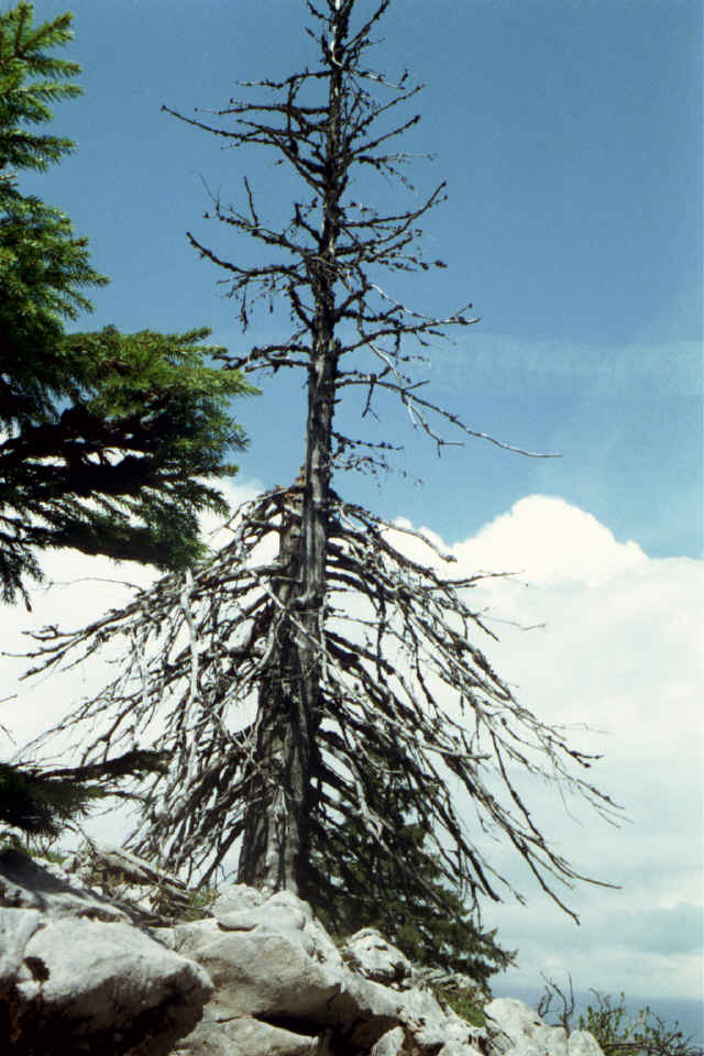
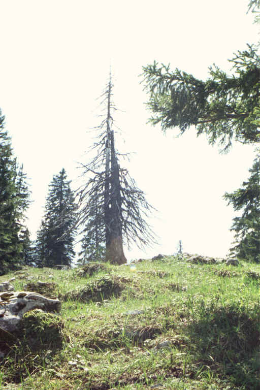
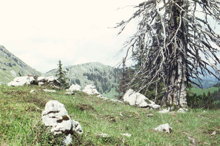
Your walk will be rewarded by beautiful Jura pictures. I took some as I wend down. See below.
|
|
|

