![]()
![]()
![]()
![]()
![]()
|
|
Circle around Grand Chavalard.This was a nice, but long walk, despite extended summer day hours. Particularly because I was too lazy to get up early enough. There were no risky passages or steep pieces, no climbing, mostly good, well marked paths. Nevertheless, total distance and denivelation may be impressive for one day. I drove to Ovronnaz (alt. 1332) and then further up several bends of narrow, but well maintained surfaced road until Odonne (alt 1586), (see right top corner of the topo map) where surfaced road continues unsurfaced behind "red circle" road sign. Well, the road was still good and the temptation top get by car as high as possible overweighed this road sigh and I continued further up until a farm at p. 1864.
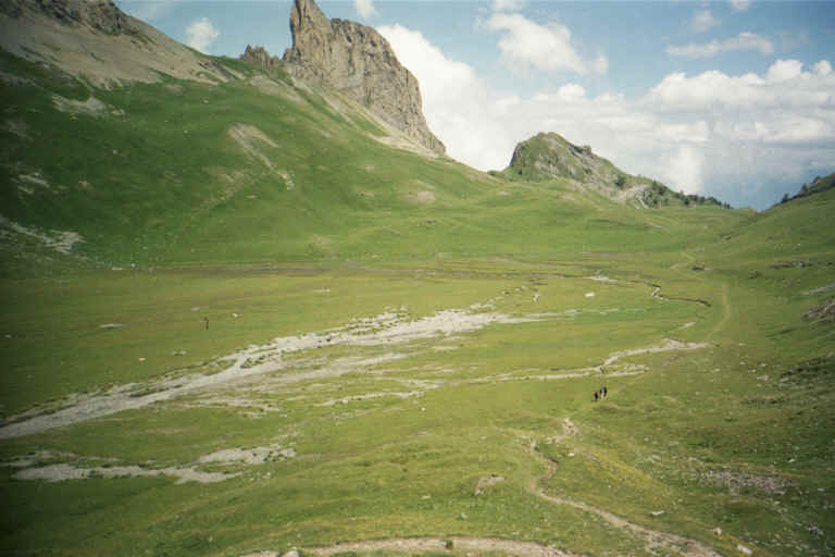
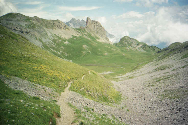
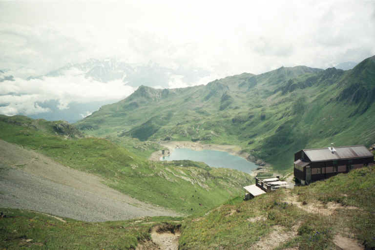
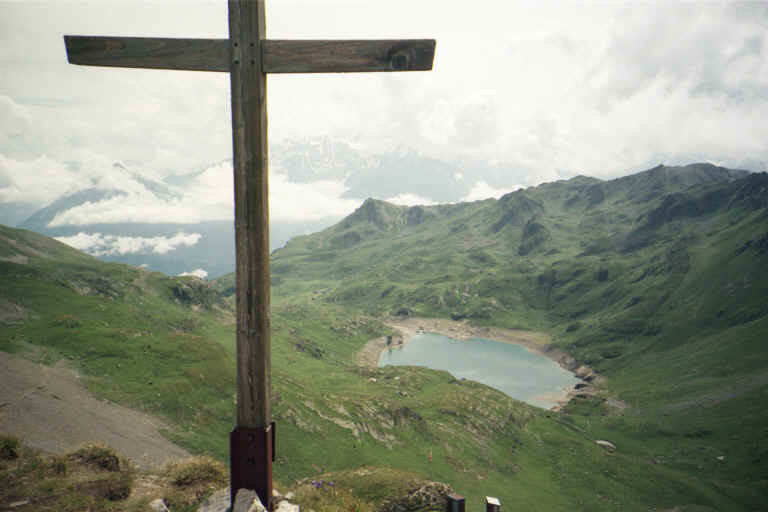
For those who wants to drive up high without any minor violations, here is an official parking place: "L'Erie" (alt. ~1860m), about 2 km East, South-East from Grand Chavalard peak. I did not know about it until I eventually happened to pass by. Then I walked up to Petit Pre, then along the meadows of Euloi up to Col de Fenestral - ~600 m up. I certainly recommend this charming, not too difficult walk. (see a couple of pics on the left). Immediately behind the pass, there is a nice Cabane de Fenestral, where it is possible to stop by for a tea and quick lunch.
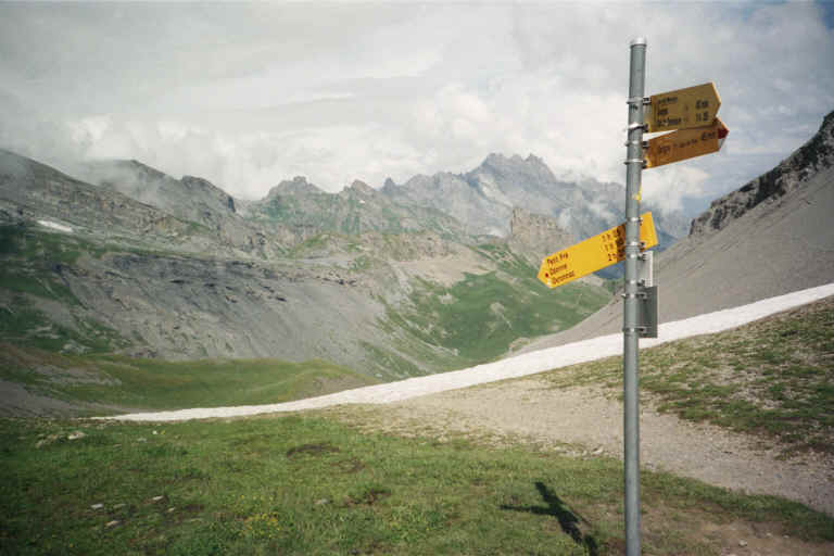
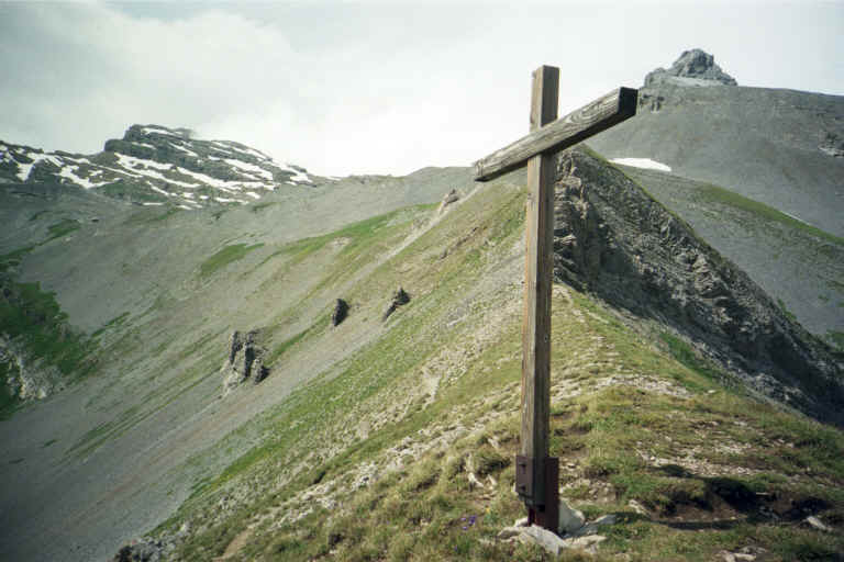
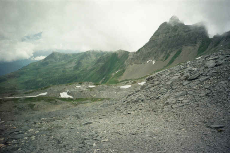
From Cabane de Fenestral there are two opportunities. A tougher one is to walk North-West up the ridge towards Tita Seri, Tete Noir and eventually Dent de Morcles (see pictures on the right). I did it until Tita Seri and returned back, because further on it would have been an endeavor in itself, which I was not prepared for and did not have enough time. The path dissolves somewhere at Grand Cor.
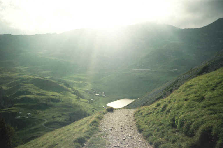
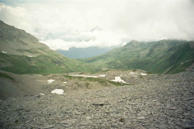
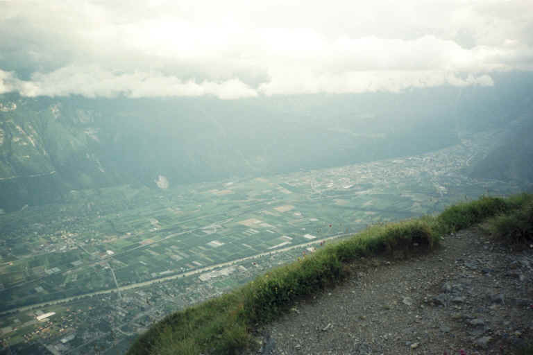
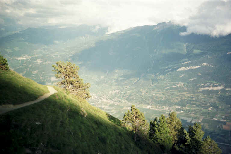
After you descend from Col de Fenestral to the Lac de Fully, you have an opportunity to close the circle against clockwise, first to the South towards small Lac Inferieur (see photo on the left) and then to East, North-East by a very good and easy path going horizontally along the slopes high above central Valais valley. It seem to be popular with easy walkers - high enough, nice view, L'Erie parking is next to it. Following this path you will reach the parking, after which you turn North and walk by winding smaller path through less frequently visited L'Etro ravine until you hit back to Petit Pre. Don't underestimate this piece. The pathway is not the best, it goes up and down, creating unexpected denivelation and requiring unforeseen effort.
| |||||||||||||||||||||||||
|
|