![]()
![]()
![]()
![]()
![]()
|
|
The highest dam in Europe?
This page would have been called "Rosablanche", if not my miserable failure to make it to Rosablanch, - a 3336 m. peak in Valais alps. Rosablanche was my goal, but because it was one of my first experiences in the Alps, I happened to be totally unprepared. I did not recognize that 6 km in the mountains are by far not equal 6 km along an even path. Well, I knew it is not the same, but I did not know that it is so much not the same! Now I think I can estimate required effort much better: I suggest each horizontal kilometer must be multiplied by at least three, while each vertical kilometer (up, of course) must be multiplied by at least ten! And this is assuming walking along maintained paths. If to take into account walking off the paths or by moraines and glaciers, the formulas do not work at all. So, 6 km along the mountains paths combined with an ascend up 1200 meters equals... right, 30 km. Plus the way back: 6*3=18, 30+18 totals 48. Well, yes, I guess so. Mentally I can equalize the effort with ~50 km walk by an even road.
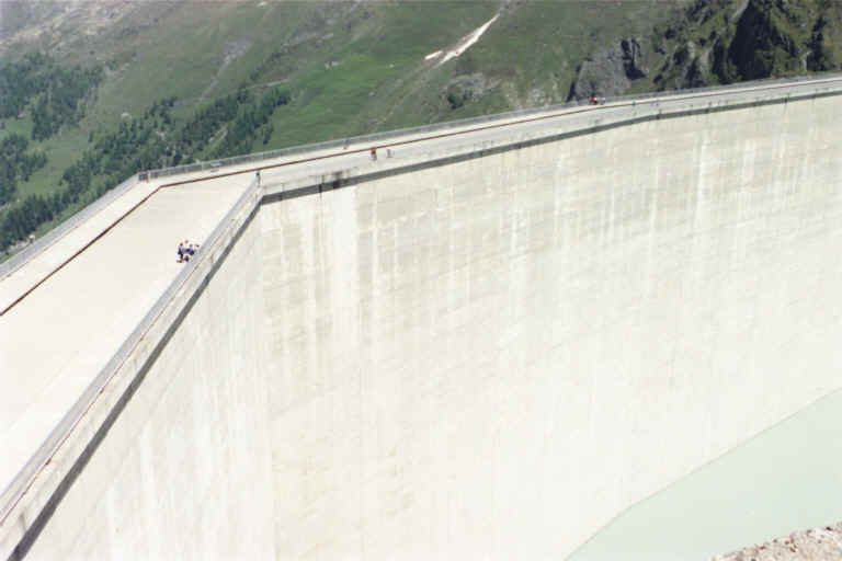
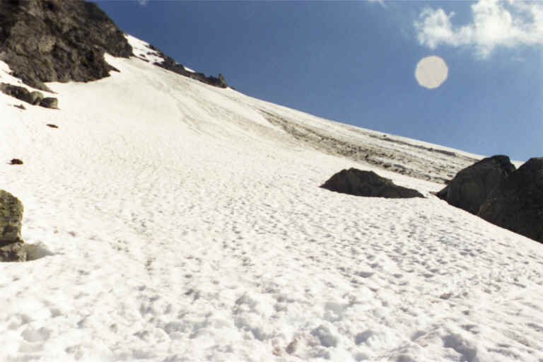
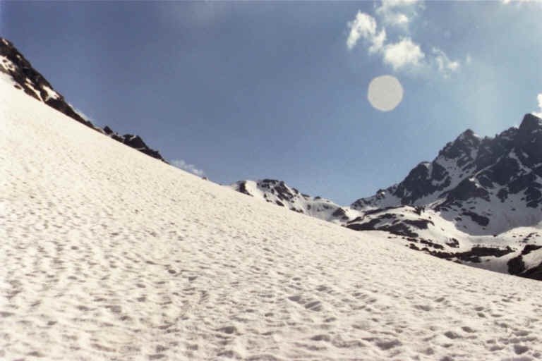
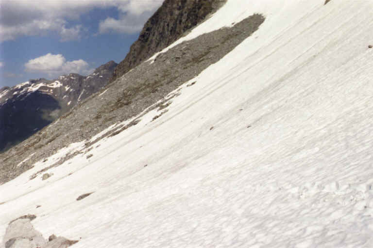
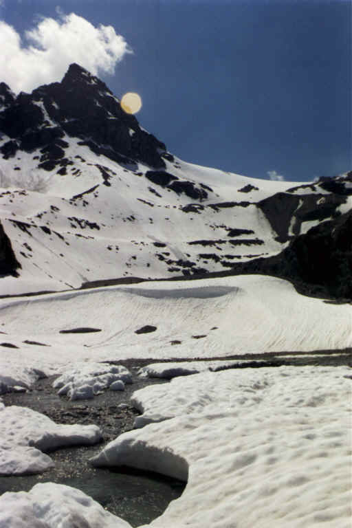
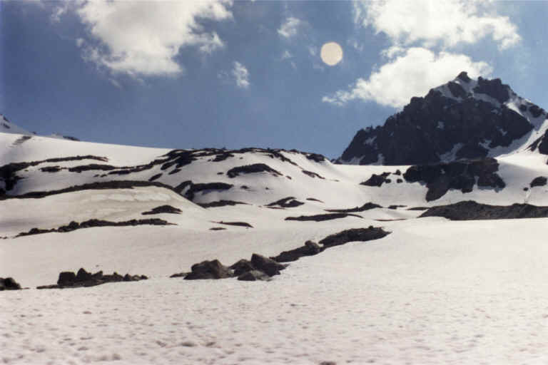
I was also unprepared to walk on a snow. Worse, on a wet snow! Resulting in wet feet, of course. Finally I had no clue what glacier is and that one can not just go over it safely without proper shoes and safety measures. OK, let's stop talking about what did not work, better let's talk about what went well. The starting point of the route was at the feet of Grand Dixance dam. It claims to be the highest in Europe. It might be a trick to attract more tourists, so I put a question mark here. What is not under question is that it is really huge dam.
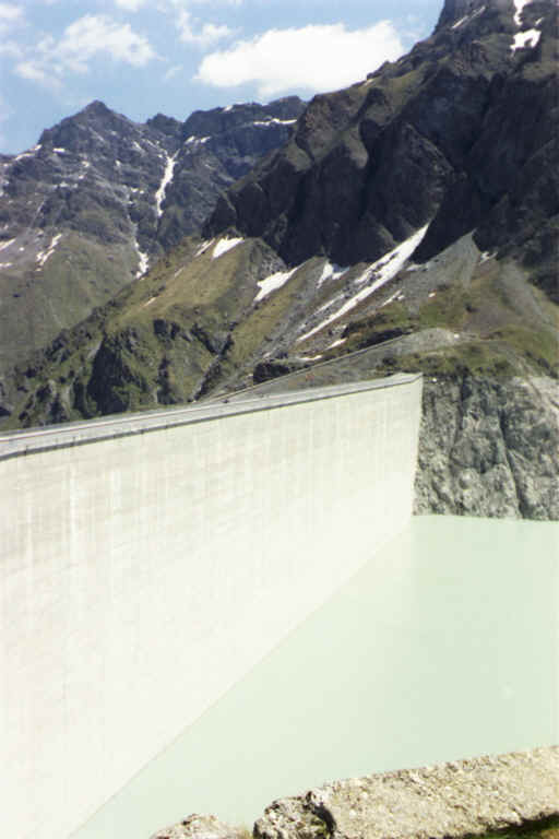
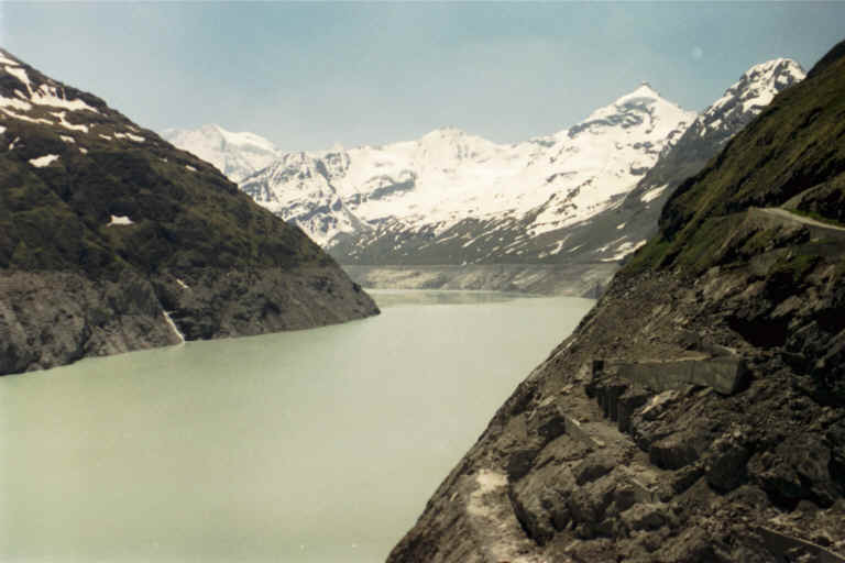
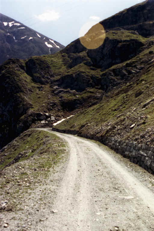
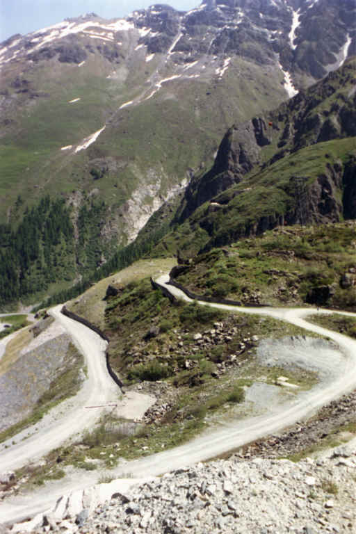
The dam is built for the needs of a hydro-electric plant, but the plant is not anywhere nearby. Smart Swiss created in Valais mountains an intricate network of dams, pipelines and pump stations. There are several dams over tens of kilometers; powerful electrical engines pump accumulated water up, over mountains into Lac des Dix, actually spending lots of electricity . But this is done only to produce a lot more electricity after, when this water runs down the other pipes. So, Lac des Dix is the biggest reservoir of this system. The water accumulated in Lac des Dix runs all the way down and down to Rhone valley, where actually hydro-electric plants are built. And that's where the pay off happens for all the energy spent for pumping water up to Lac des Dix. To get to the dam top you can either walk by steep path or less steep, but longer road or you can take a small cable car, which will take you up for about 4 CHF. I happened to be there during lunch break, when cable car did not operate. I either had to sit idle for another half an hour, or to go up by foot. I went up by the road, but looking back now, I would not recommend anyone to do it. Not because it was very difficult; it is just uninteresting walk and waste of energy. Take the cable car. Funny enough, first cable car arrived to the top anyway before I was there.
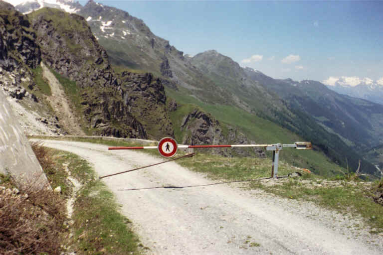
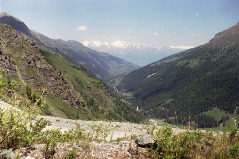
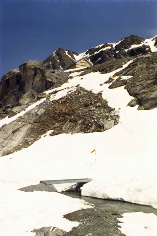
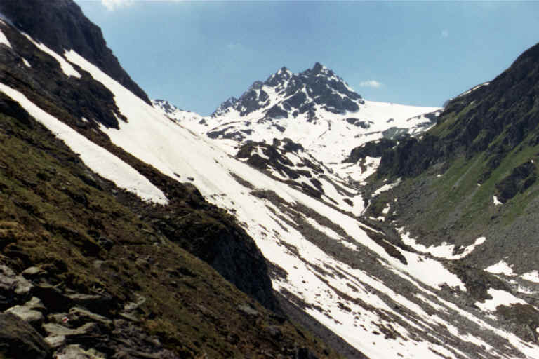
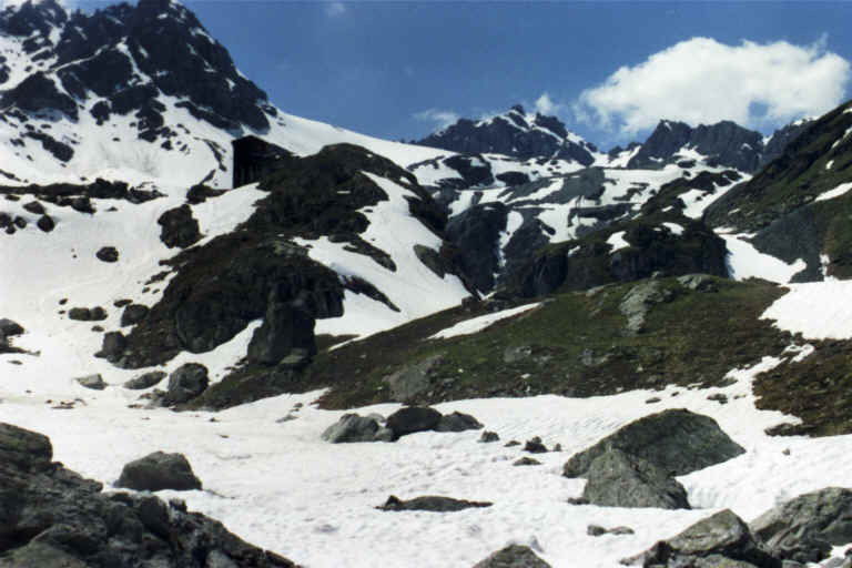
You can walk on the top of the dam and descend back or to choose from several various options to continue the walk. Have a look at the topographic map and satellite picture. Probably the most popular one is to walk along the lake. There is a good path stretched over several kilometers to the opposite end of the lake, where it starts to climb up until it reaches Cabane de Dix. I have not tried it myself, but that's what Internet resources say and map confirms. It should be an easy walk along the lake shore. I took another option, trying, as I said earlier, to make it to Rosablanche. The way is up from the top of the dam to the Combe de Prafleuri and then along the marked path up to Cabane de Prafleuri. There I met first snow. Driving route to the location, although not the shortest, is easy.
| ||||||||||||||||||||||||||||||||||||
|
|